
 |
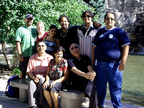
| First data points being collected under the Trinidad and Tobago Microzonation Project on French Street, Woodbrook. In this image Dr. Walter Salazar is seen checking the equipment. |
Data collection has officially begun on a multi-million dollar research project aimed at improving understanding of ground response during an earthquake in various areas of Trinidad and Tobago.
Funded by the Ministry of Planning and Sustainable Development through the Town and Country Planning Division, the Trinidad & Tobago Seismic Microzonation Studies Project caters for the production of detailed earthquake hazard maps for ten urban centres (cities and towns) throughout the country over a ten-year period. The Project is being implemented by the UWI Seismic Research Centre (UWI-SRC).
According to the UWI-SRC, regional geology and soil composition play an important role in determining the level of ground shaking during an earthquake. Ground motion (shaking) is generally stronger in areas with soft soils or thick layers of sediments such as clay deposits or reclaimed land. Buildings constructed on these sites are more likely to suffer greater damage than those built on bedrock (hard rock). The site response of the ground motion caused by an earthquake may, therefore, vary in different locations within the same city depending on the thickness of sediments.
“An important outcome of this Project is that the country will be subdivided into zones based upon how strongly the ground may shake at a specific site within a given urban centre (city or town) due to the thickness of sediment layers at that site,” said Dr. Walter Salazar, Research Fellow (Earthquake Engineering) of the UWI-SRC and Principal Investigator on the Project.
“These site effects influence how strongly the ground may shake during an earthquake in a given area and by extension the extent of damage we can expect at that site,” added Salazar.
Detailed information such as this will be useful for disaster managers, engineers, insurance companies and land use planners as the maps may be used as a preliminary screening tool in site selection for essential facilities and estimating impact on existing facilities such as schools and lifelines.
According to the Town and Country Planning Division, current assessment of seismic risk relies on the existing geological maps, which fail to show the details and extent of vulnerability in key population and economic nodes in Trinidad and Tobago.
Increasing levels of development, especially in the public sector, make it imperative for land use policies to be informed by more detailed hazards assessments, made possible by a high density seismic hazards Microzonation database, one of the outcomes of the Project.
Seismic Microzonation studies such as this have been conducted in many large cities around the world. This is the first such study to be conducted in the English-speaking Caribbean.
Measurements have begun in Woodbrook and will continue in various areas of Port of Spain for the next year. Other areas to be measured include San Fernando, Point Fortin, St. Joseph and Scarborough. Upon completion of the mapping of each urban centre, a workshop will be convened to train stakeholders in the use of the database to inform safer policies and practices.
For any additional information please feel free to contact Ms. Stacey Edwards at 662-4659 or via email atinfo@uwiseismic.com
No comments:
Post a Comment